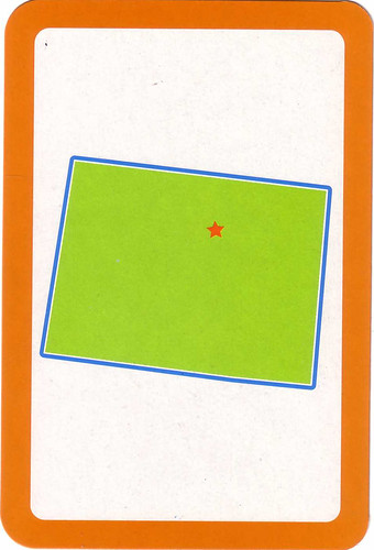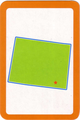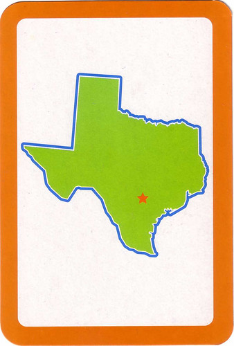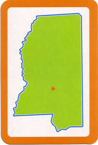
Card number 3–NOTE: NOW FLIPPED TO ITS CORRECT UP-DOWN, NORTH-SOUTH ORIENTATION.
OK, so this is a visual literacy game I found at Target. Flash cards for….did you guess? The USA states. The one that made me laugh out loud is Wyoming, which has a Russian Suprematist tilt and is completely mysterious. Colorado is another jaunty Suprematist state.
It would have been nice to see some useful information on the backs of the flash cards (which cost $1!! such a deal), like say, population, area, geographical distinctions, size, rivers and lakes, biggest industry, date it became a state–stuff I always like to know…instead you get to know the state flower (Columbine for Colorado–hmmm), state tree (Pecan for Texas) and motto (Equal Rights for Wyoming….hmmm again).
And because they really want to mess with the adult mind, you have Texas (Second in size among the states, with a “land and water area of 268,581 square miles as compared with Alaska’s 663,267 square miles” and a “2005 resident population est.: 22,859,968″… thank you Texas almanac ) looking smaller than Mississippi (Area: 48,434 sq. miles. Population: 2,768,619 thank you kids connect).
So, just when you thought you were so high falutin visually literate, this comes along. And you know your visual literacy will have little to do with that of the children of the future who will know and value the state flowers and trees but will not be able to tell you where their favorite stat is or how big Texas is.
*Card 1=Colorado; 2=Wyoming; 3=Mississippi; 4=Texas


